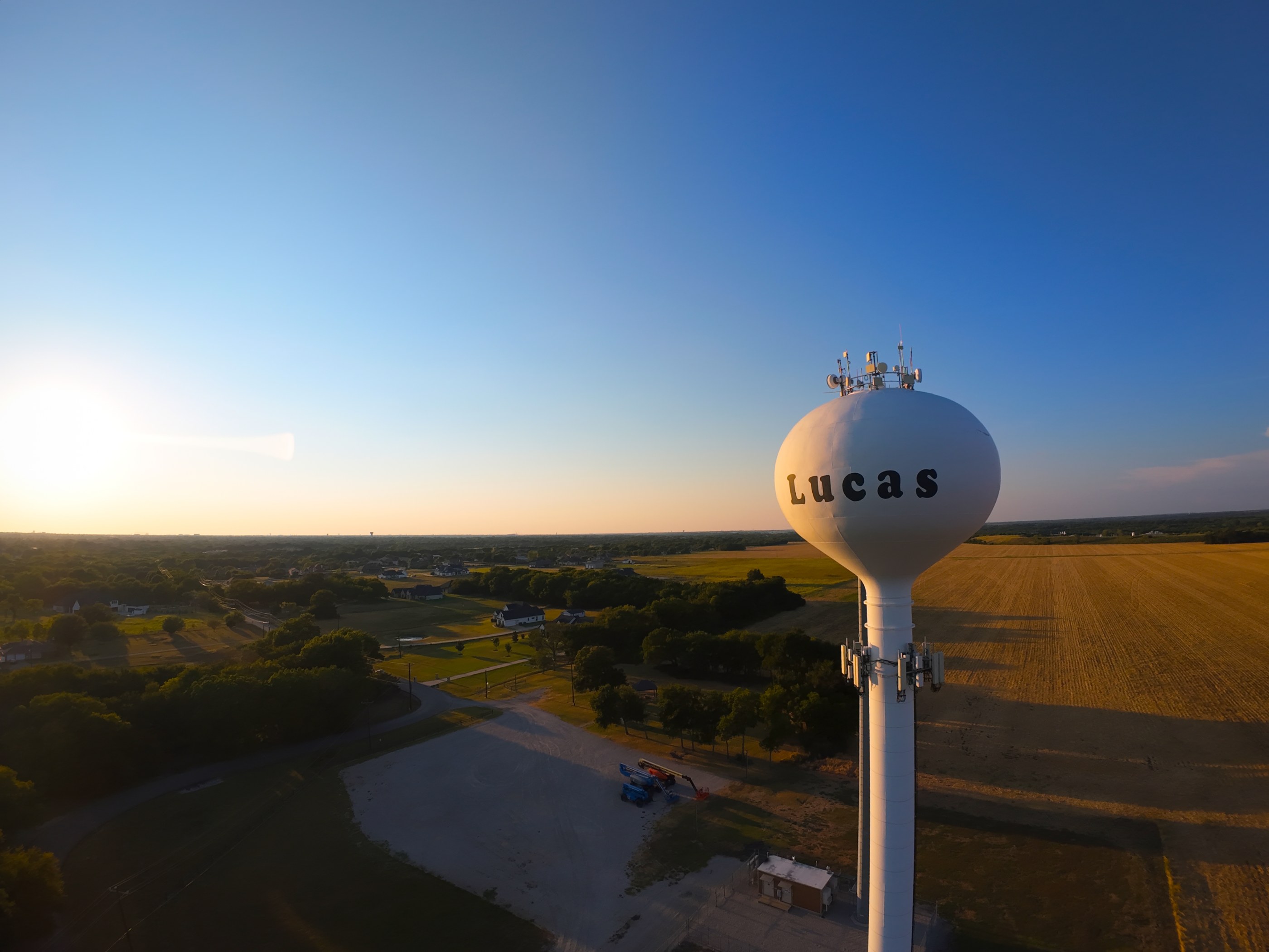
Listings, developments, and raw land. An aerial shows the lot line, the approach, and what a property actually sits next to — the context a ground-level photo cannot reach.
One flight that feeds the website header, the social posts, and the screen in the window. Shot so a single visit covers what you need for months.
Campaign and brand work, flown to the storyboard. Aerials that open a spot, bridge a scene, or carry the closing frame.
Don’t see your industry here? We are glad to talk through what you need.
Speak to usHome base, and the ground we cover day to day: Dallas, Fort Worth, Plano, Frisco, Arlington, Irving, and the towns in between. Most of the metroplex is a short drive, so scheduling stays flexible and a reshoot is rarely a problem.
We are happy to accommodate any need and any location in the United States where drones can fly.
Footage comes off the drone deliberately flat: thin color & low contrast. That is not a mistake. It holds details in bright highlights and dark shadows that a normal camera profile might crush or wash out.
Color grading is where creative freedom pays off. It pulls water apart from rock, transforms flat green foliage into distinct leaves, and glues every shot in a sequence into a cohesive look.
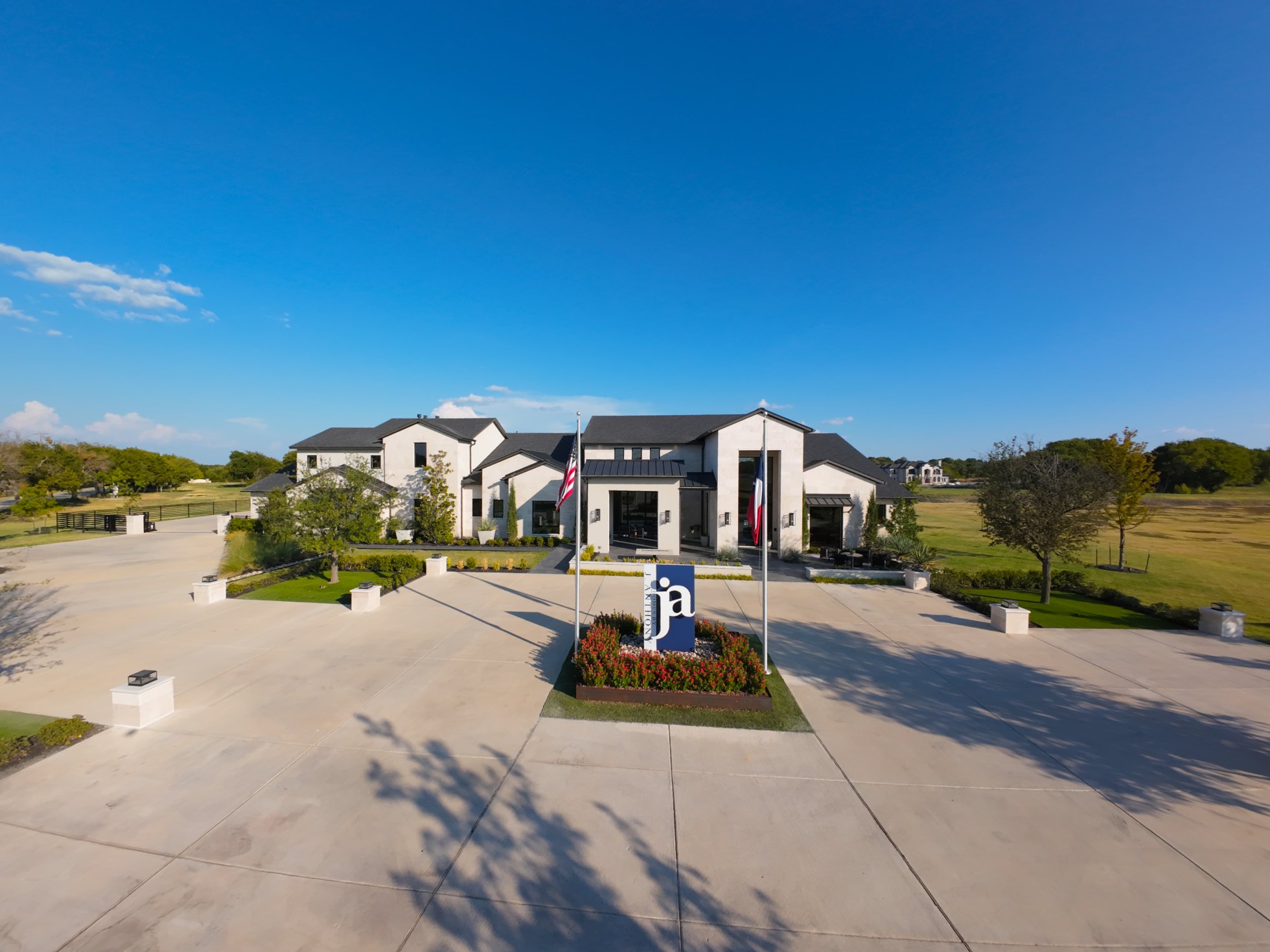
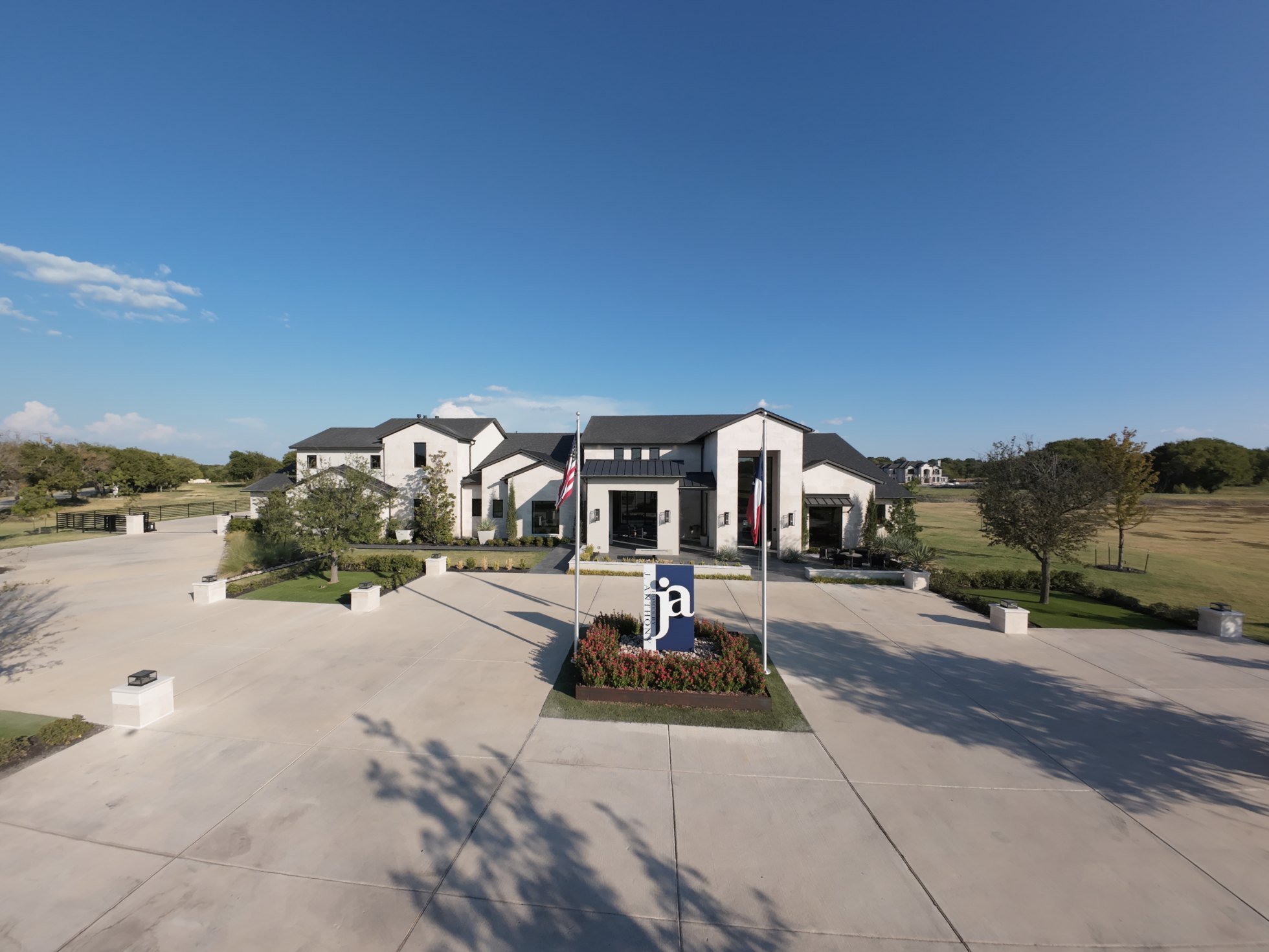 Ungraded
Standard operations run up to 400 feet above ground level in uncontrolled airspace. Controlled airspace near an airport requires authorization, which we file & receive approval within the day.
Sustained high wind velocity, rain, and low fog are the usual blockers. We watch the forecast from a week out and hold a backup date on every booking, so a weather call does not cost you the shoot.
Yes, FAA 14 CFR Part 107 states that any drone flight that involves compensation or supports a business purpose requires a Part 107 Remote Pilot Certificate.
That is the most common place people start. Send us what you are building or selling and we will come back with two or three concrete ways aerial footage could earn its place — or tell you plainly if it would not.
Construction sites, quarries, farmland, coastline, forestry, resorts, and more - we handle the risk assessment and the permissions!
Still have unanswered questions?
Speak to us
Ready to see your project from the air? Tell us what you are building and we will scope the shoot.